
McAllen Neighbor Records by Block
A close-block search begins with the boundary, not a presumed list of people. Use parcels that touch the target, lots fronting the same short street segment, or the lot and block named on a recorded plat. Each source answers a narrower question. The parcel viewer establishes map context. The Hidalgo County Appraisal District and Tax Office connect an account and owner of record to a parcel. County records explain the legal description. Historical volumes can show who was listed at an address in a particular year. None of these sources establishes every current occupant, so label each finding by its source and date.
| Block source | What it can establish nearby | McAllen access route |
|---|---|---|
| McAllen GIS Tax Parcel Viewer | Parcel shapes, adjacency, corporate limits, and map layers | Public GIS hub and GIS feedback line |
| HCAD parcel card | Owner, account, situs, mailing address, legal description, and exemptions | Individual parcel, address, owner, or account search |
| Hidalgo Tax Office | Owner, property-address, account, and CAD-reference combinations | Public two-step property search |
| County Clerk plats and deeds | Lot, block, subdivision, easements, and recorded transfers | Official Records portal or Edinburg counter |
| Library Cole’s Cross volumes | A dated address-to-listed-household or business layer | Reference consultation at McAllen Library or UTRGV |
An owner name and a property mailing address belong to the tax record, not automatically to the people currently present at the situs address. Keep those fields separate. A homestead notation, when shown, may be a useful indication to investigate, but it is not final proof of present-day occupancy.
McAllen GIS for Neighbor Parcels
The McAllen GIS hub is the map starting point for a nearby parcel review. Its public menu includes Tax Parcel Viewer, corporate limits, development and zoning, flood zones, schools, census data, poll places, city-growth layers, and an HOA layer. Those overlays add geographic context. They do not certify a title result or produce a private household roster. The city says it began GIS development in 2002, which helps explain why the map is a modern context tool rather than a complete historical address source.
The GIS hub’s Tax Parcel Viewer and context layers provide the visual starting point for a block review.
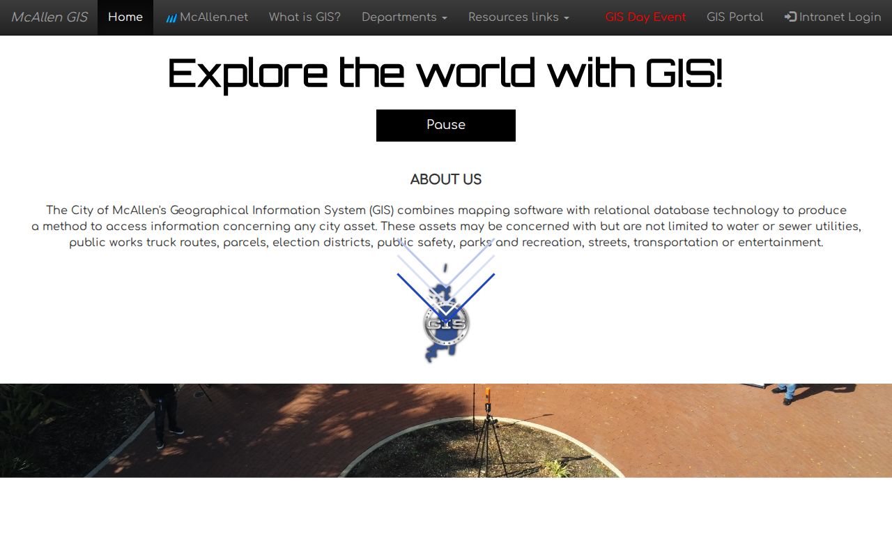
Start with the parcel layer, then use corporate limits and development layers to avoid treating a postal label or association overlay as a property boundary. If the live viewer offers Select, Measure, Identify, or another map control, record the control as displayed instead of assuming it is available.
Note: The static GIS hub does not identify a fixed-radius tool, so adjacent parcel review remains the documented method.
Map McAllen Neighbor Parcels
Use a repeatable trail from one address outward. First preserve the parcel identifiers, then compare the separate tax, map, and recorded-document layers. A parcel is a mapped tax unit; the situs is the property’s physical location. A plat is the recorded map that can define lots, blocks, streets, and easements. This method stays focused on the immediate block. The McAllen street directory is the better route when the question grows into a full named-street chain.
- Open Tax Parcel Viewer, find the target address, click the target polygon, and record the parcel or geo reference shown.
- Pan one parcel at a time. Capture each adjacent parcel identifier or each parcel fronting the same short segment, rather than relying only on a map label.
- Search each identifier or situs in the Hidalgo County Appraisal District. Record owner of record, legal description, subdivision, lot or block, and the separate mailing field.
- Use the County Clerk’s Official Records Search for the lot, subdivision, owner-as-grantee, or document number when a deed or plat must clarify the parcel relationship.
- When older evidence matters, compare the address against Cole’s Cross and regional telephone-book years instead of treating a current parcel card as historical proof.
The legal description provides the stronger bridge when a street label is incomplete or a tract changed shape. It may use a subdivision and lot/block, or an abstract or survey reference. A deed can transfer only part of a tract, so an apparent link between two nearby parcels needs a plat or instrument check before it becomes a block conclusion.
McAllen Neighbor Tax Search Clues
The Hidalgo County Tax Office property search offers a useful narrow search pattern for a McAllen block. Step 1 accepts an owner name, property address, account number, CAD reference number, or fiduciary number. Step 2 is optional and can narrow the first result. The office’s published example pairs an owner surname, Jackson, with a property-address fragment, Clearwater. That can help test a specific record connection on one street, but it is not a complete nearby-person search.
The Tax Office search interface shows the first and optional second criteria used to narrow parcel records.
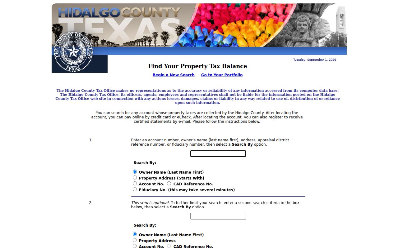
Use an address-starts-with search to locate property accounts, then verify each account against its legal description and the map. The tax search can lead to a certified statement after an account is found, but it does not establish that the mail recipient is a current neighbor at the property.
McAllen Neighbor Association Clues
Community information is useful for understanding a subdivision, but it is not a substitute for official parcel records. McAllen GIS includes an HOA overlay. The Texas management-certificate search can be filtered by association name, county, city, ZIP, and type. The inspected state result included The Hills At Sharyland Four-Plex Association in Hidalgo County, McAllen, ZIP 78504, listed as a POA. That certificate identifies an association or management relationship, not its members or every nearby household.
| Community source | What it can confirm | Useful boundary |
|---|---|---|
| McAllen GIS HOA layer | Association map context around a parcel | Confirm covenants and plat boundaries separately |
| Texas HOA management certificates | Association name, place, type, and management relationship | Not a member or household list |
| Project Clean Neighborhoods | City support for forming a neighborhood association | An association is not required for a neighborhood |
McAllen’s Project Clean Neighborhoods information confirms that the city can help form an association and that an association is not required.
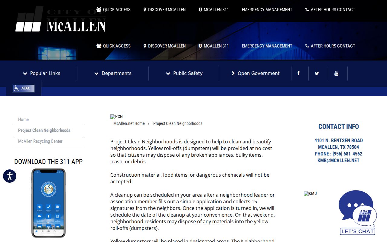
Use an association’s own public meeting notice or site for a specific subdivision after checking its recorded boundaries. The official sources reviewed did not identify a complete public McAllen directory of neighborhood members, block clubs, congregations, or civic-group rosters.
McAllen Neighbor Voter Records
Texas voter information is not a web page for browsing a block. In a lawful list-request context, the state layout can include permanent street components, permanent ZIP, precinct, status, VUID, registration-effective date, and election-history fields. Hidalgo Elections uses an individual sample-ballot lookup that calls for the name exactly as registered and date-of-birth fields. It does not create a browsable neighbor roll.
For an existing geographic record, Hidalgo’s public-information form permits requests tied to such areas as a city or voting precinct and says the office may need up to ten business days, with hourly charges possible. The Elections Department moved in January 2025 to 2015 W. Jackson Creek Ave., Edinburg, and lists Monday through Friday hours of 8 a.m. to 5 p.m. Protected addresses are withheld, and Texas Election Code §18.009 prohibits using registration-list information to advertise or promote commercial products or services.
Note: Registration status is one dated record field, not proof that every nearby resident is registered or currently at that address.
McAllen Neighbor Permit History
The McAllen Accela portal offers Building Permits, Other Permits, Planning Cases, Property Information, and search modules keyed to an address or parcel. Its property mode includes address, parcel-information, and owner routes; the address controls can use a street-number range, direction, street name and type, unit details, acreage, area, development, district, electric utility, and elevation. These fields can separate similar parcels or show a development context for a block.
A permit event is still limited evidence. An applicant might be an owner, an agent, or a contractor, and an inspection status says nothing by itself about present occupants. For city-held material that is not available in the portal, make a written request through the McAllen Public Information Request process with the address, date range, and record type. The city does not have to answer questions, create a record, or perform legal research.
Older McAllen Neighbors in Print
For a past block, McAllen’s strongest trail is often off the current map. The city historic-preservation guide identifies Cole’s Cross Directory from 1960 to date, Lower Rio Grande Valley telephone books from 1923 to date, Wilmot’s McAllen City Directory for 1951–52 through 1968, and Johnson’s run for 1970–1982. McAllen Public Library and UTRGV Special Collections provide the relevant reference and archive channels. Compare a volume’s date with the address and legal description, because a historical listing is evidence for that edition, not a claim about today’s residents.
Privacy Limits for McAllen Neighbor Searches
Public records have firm edges. A parcel card can show an owner of record and a mailing address without identifying every person connected to the location. Utility customer data, delivery records, unlisted telephone information, and protected voter addresses are not ordinary public block records. Texas Government Code §§552.117 and 552.1175 protect specified personal details for qualifying people. Texas Address Confidentiality Program participants may use a substitute address, and some voter records display asterisks instead of a residence address.
| Official record route | Commercial neighbor tools | Best practice |
|---|---|---|
| Shows a defined record, custodian, and date | May combine data of uncertain timing or origin | Check a key fact with the named custodian |
| Preserves statutory redactions and access limits | May not explain a source or update cycle | Do not republish sensitive details |
Lawful use. Use McAllen neighbor records for personal, civic, property, or family-history questions. Do not use a record to stalk, harass, threaten, monitor, or harm another person. Texas Penal Code §§42.072 and 42.07 address stalking and harassment.